Maps of Kibera
The Google map above centres on Kibera but you can zoom & pan in the normal way to get a perspective of Kibera in relation to the rest of Nairobi, Kenya,Africa & the world. Refresh the page (click F5) to return to the default zoom level.
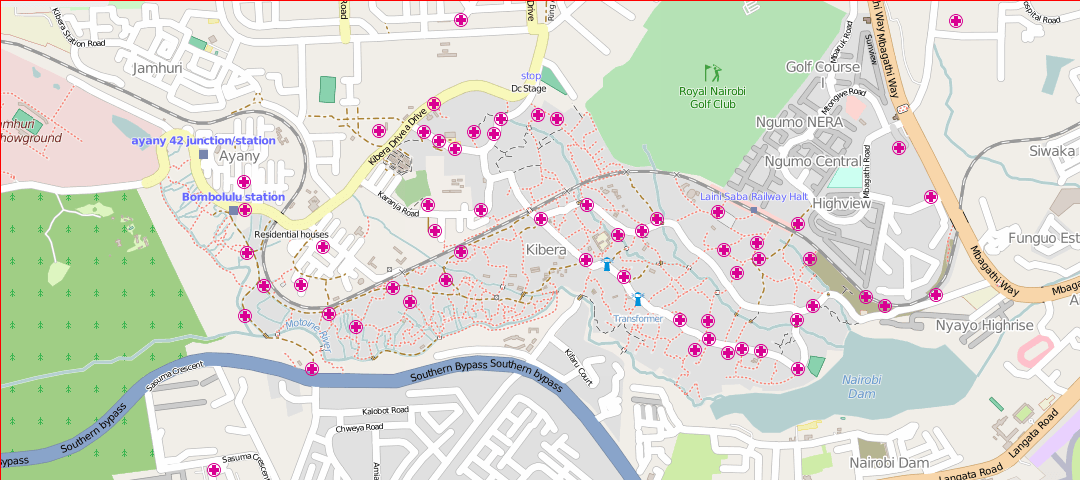
For more detailed local information information, click the image below to open the 'Open Street Map Project' map which shows Clinics, Places of Worship, Schools, Shops & Business's, Toilets and Water points which can be viewed by zooming into the live map.
The above map has been created and is maintained by local people using the Open Street Map Project. Click the above map to open a live & updated map in a new page. The live map shows Clinics, Places of Worship, Schools, Shops & Business's, Toilets and Water points which can be viewed by zooming into the live map.


